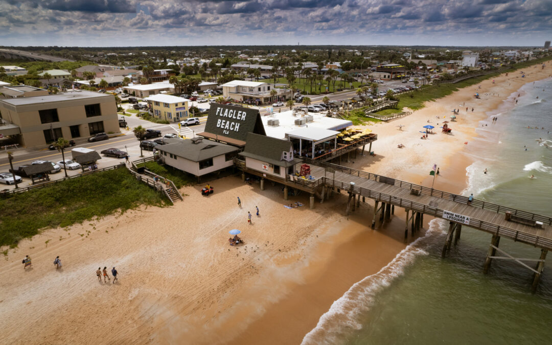
The City of Flagler Beach has announced the launch of a new flood risk portal that will enhance community outreach and make it easier for Flagler Beach residents, real estate and insurance professionals, developers, and others to seamlessly access flood risk information for individual properties such as flood zone maps, as well as important documents like elevation certificates.
The new flood risk portal is powered by Forerunner, a floodplain management platform that delivers actionable, property-level flood risk information to streamline compliance workflows, improve resident communication, and accelerate disaster recovery efforts. The introduction of this new resource is part of Flagler Beach’s ongoing efforts to build a more flood-resilient community.
Due to its location, Flagler Beach is vulnerable to three different sources of flooding: the Atlantic Ocean, the high water table on the western side, and inter-coastal tidal flooding. 40% of Flagler Beach homes are located in the AE zone, a Special Flood Hazard Area with a high risk of experiencing flooding events.
“We’re pleased to be able to provide this flood risk resource to the public, which we hope will enable us to better inform, communicate with, and above all help our community to prepare for flooding events,” said Joyce Rebar, Stormwater and Floodplain Manager for the City of Flagler Beach. “We’re excited to integrate this new technology into our floodplain management practices, as well, so that we can continue to become more resilient and adaptable for the future.”
“The portal allows the public to look at each property individually to see which are flood zones, have an elevation cert, and identify previous claims, losses, flood events, and other records. This is great for new residents, looking to do homework before purchasing, to see flood history. Developers can also use this portal for vacant lots, which are minimal in Flagler Beach, and are typically in between existing homes, the portal will allow developers to pull neighbor property histories to determine the plan for new builds,” Bill Freeman, Flagler Beach City Engineer, told us. Freeman also went on to explain the elevation certificates, the localized flood risks for areas of Flagler Beach, and why some homes are more prone to flooding than others. “Elevation Certificates are documents provided by a surveyor that tell the flood zone, identify the type of foundation, identifies the height of the finished floor. For example, in a flood zone AE4, which is four feet above base elevation, the cert will tell you a number that needs to be 1 foot above base elevation, according to FEMA, basically amounting to 5 feet above sea level” Freeman explained.
Freeman explained that the barrier island while bordered by the ocean and the intracoastal waterway, also has a high water table. This can cause localized flooding during larger rain events.
In addition to the public-facing portal, Flagler Beach plans to use Forerunner to leverage various inspection workflows, including Substantial Improvement and/or Substantial Damage tracking, Elevation Certificate error detection, and letter generation (especially for Repetitive Loss Area Analysis notifications). It will also leverage Forerunner to manage the city’s participation in the NFIP’s Community Rating System. The community is currently rated a Class 6, which provides a 20% discount on flood insurance rates.
“We’re proud to be working with Flagler Beach, a city that’s focused on building flood resilience for the long term,” said Susanna Pho, Co-Founder and COO of Forerunner. “We hope that our technology will help residents and property owners to better understand their flood risk, and help meet the city’s floodplain management needs today and well into the future.”
To learn more, visit https://www.


